
What
A computational tool that treats landscape as a modular architectural system, generating stepped landforms through repeatable geometric units rather than fixed topography.
Why
To enable terrain to be designed with the same clarity, control, and adaptability as architecture, supporting climate response, spatial hierarchy, and human-scale inhabitation across different sites.
How
By using a parametric workflow that defines modular rules for size, depth, spacing, and orientation, allowing the system to be reconfigured across projects with a shared design DNA.

01
Define the Module
Modules are defined with boundary curves

02
Generate the Terrain
A site mesh is created and analysed
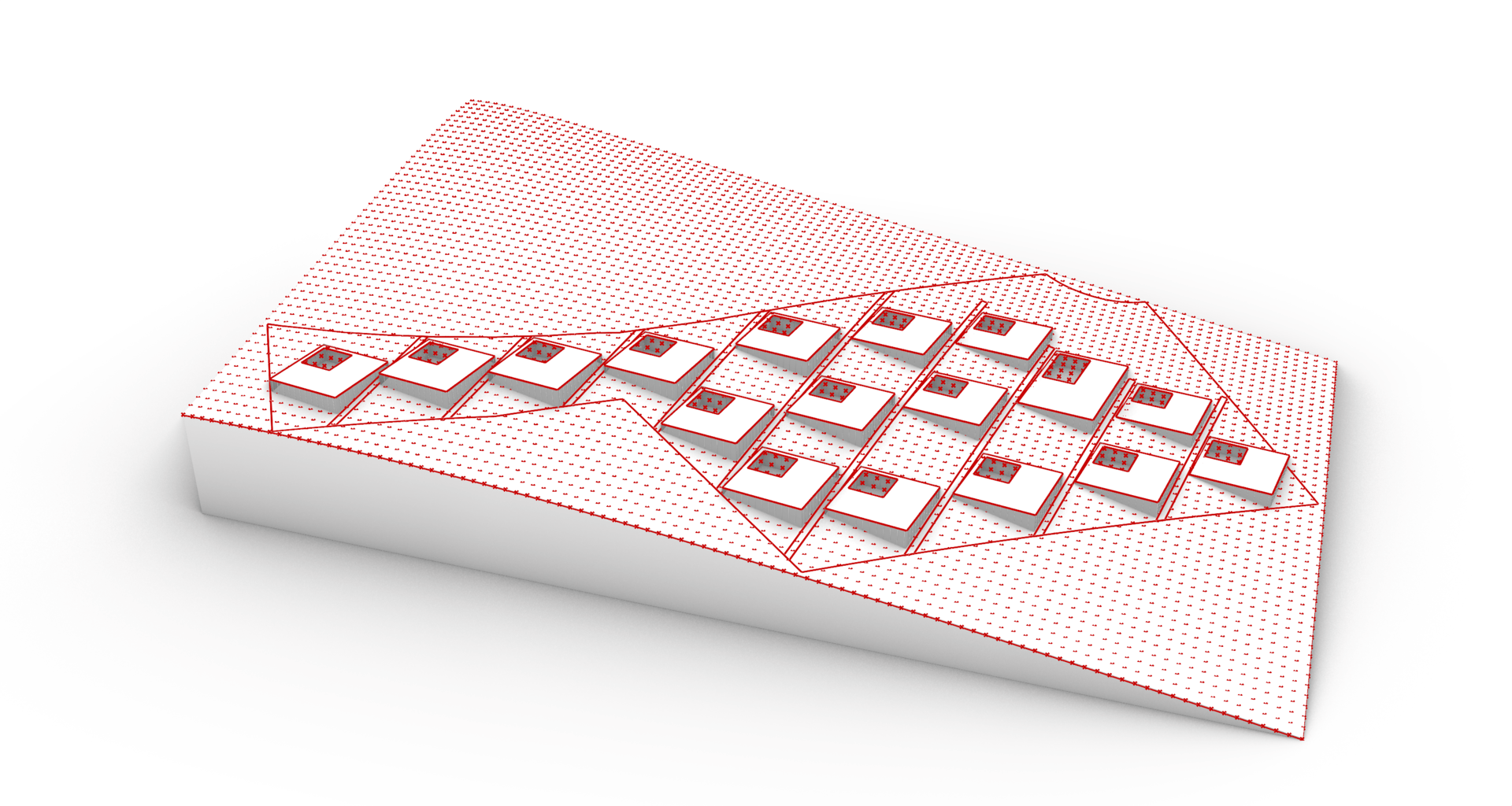
03
Refine Landscape
Each module intersects the terrain, generating precise cut-outs


Tools developed through research and informed by live residential and hospitality projects at Bar Orian Architects
Previous
Next